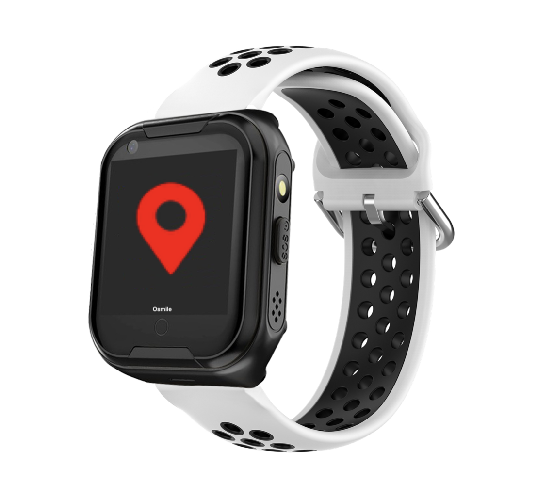
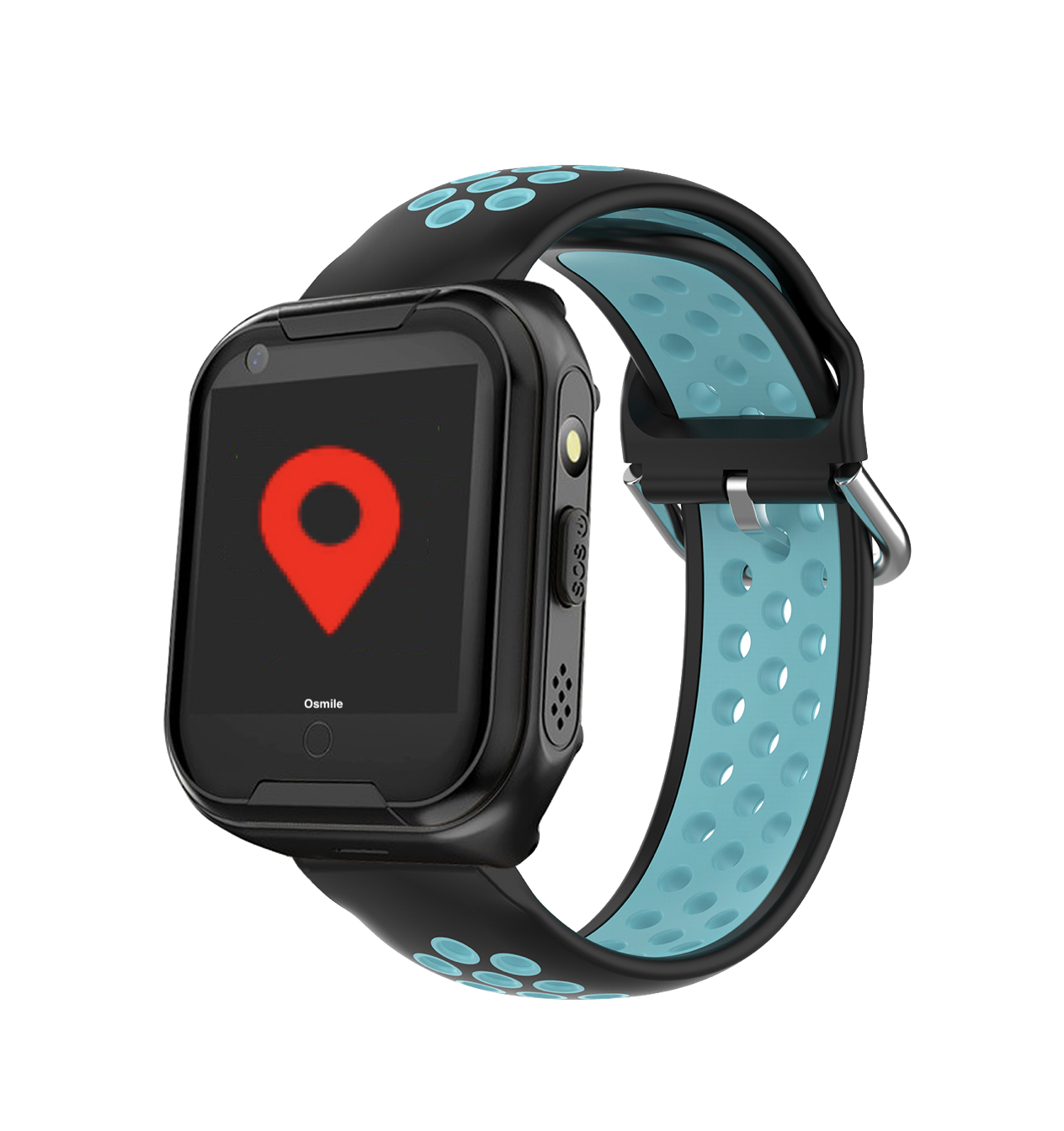
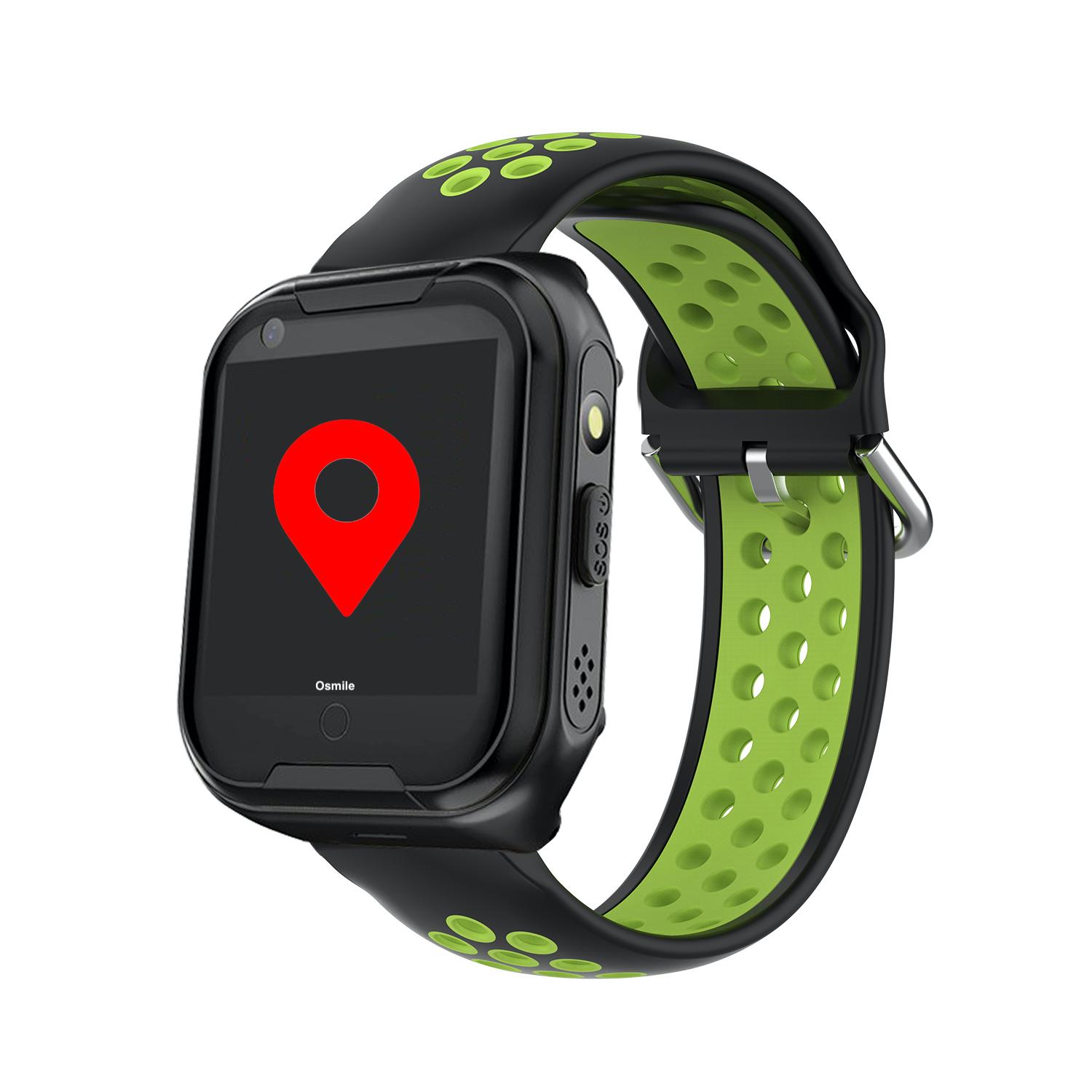
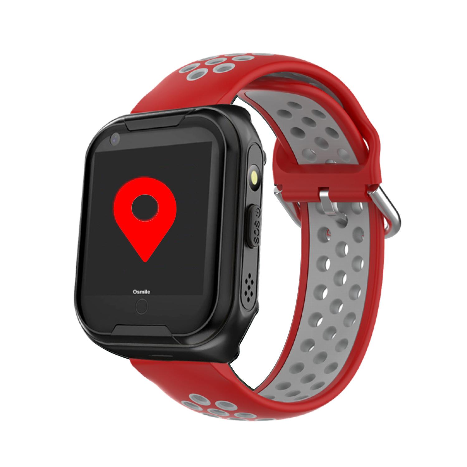
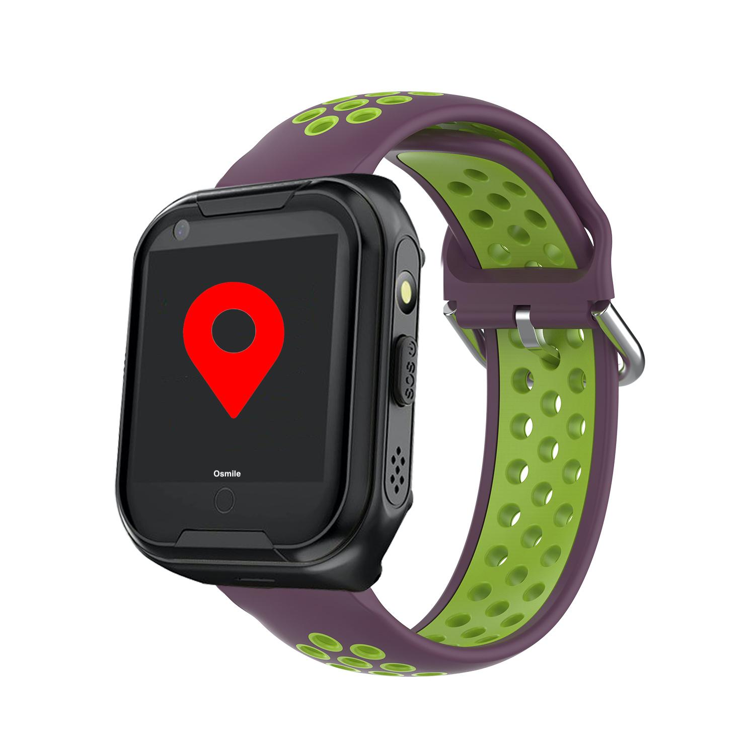
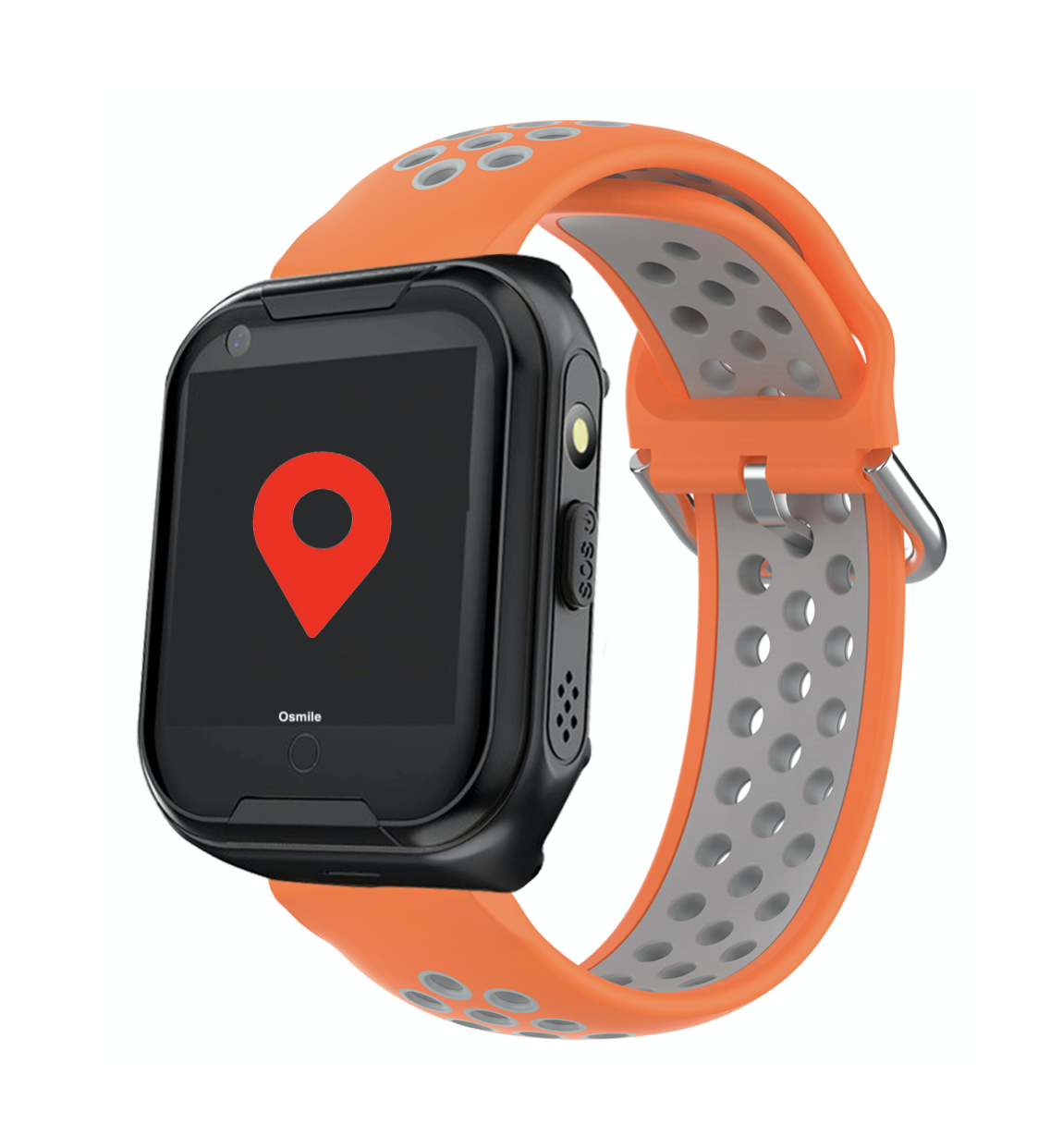
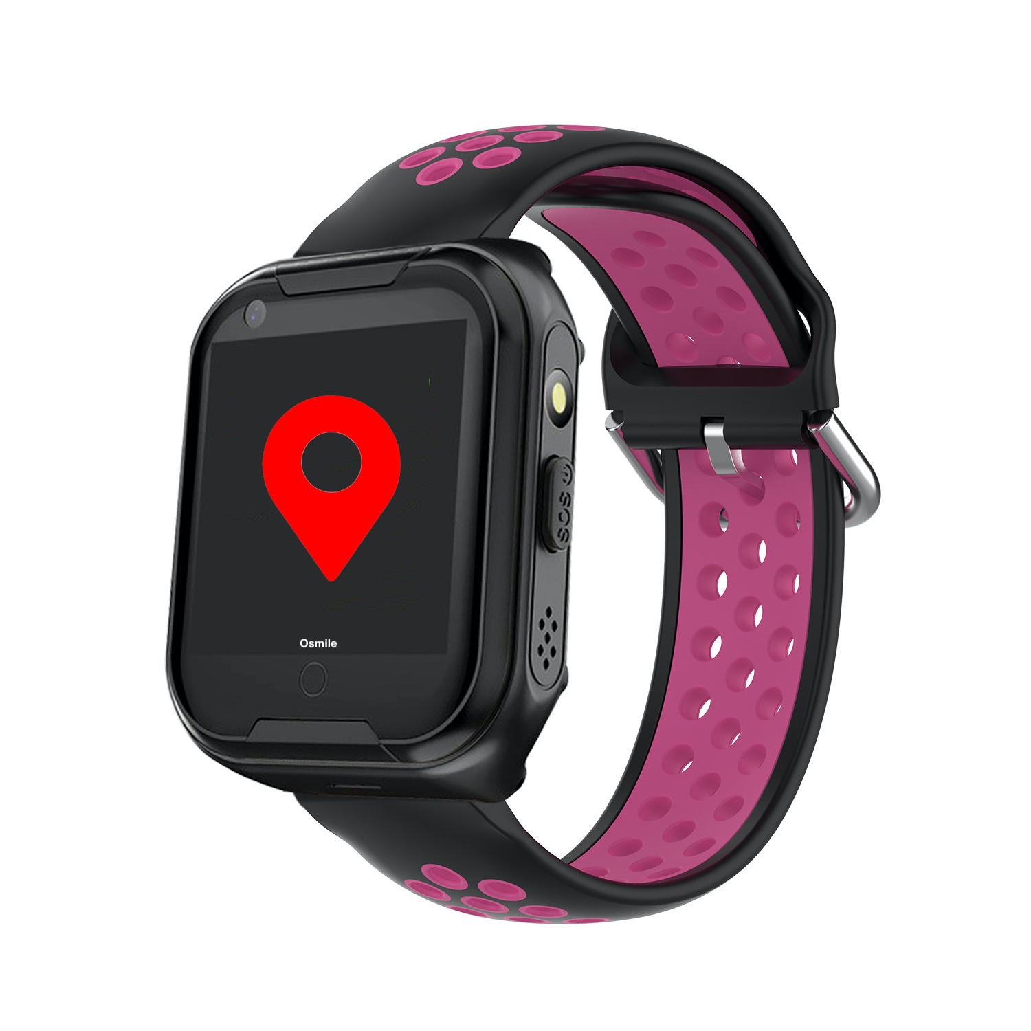
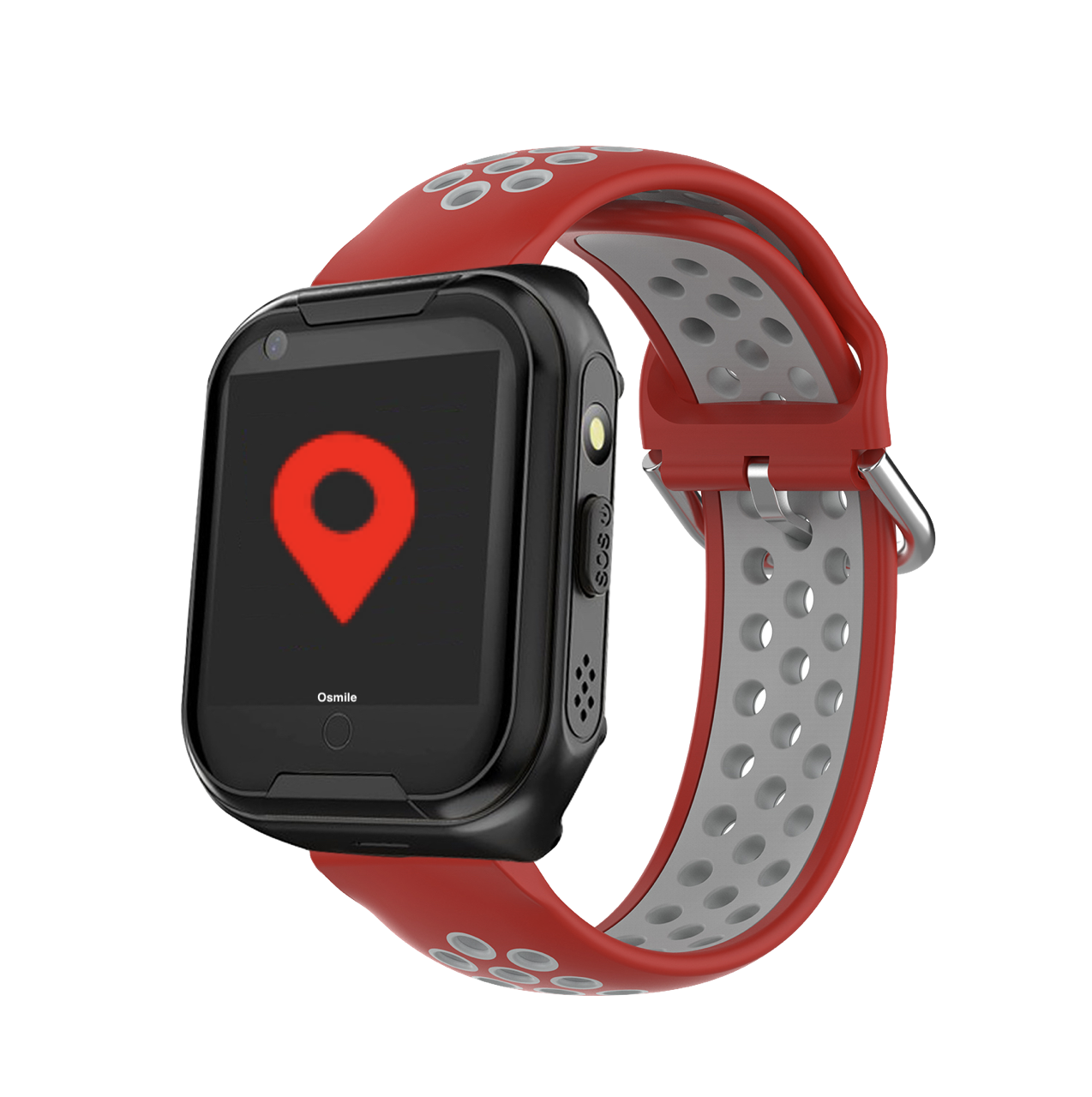
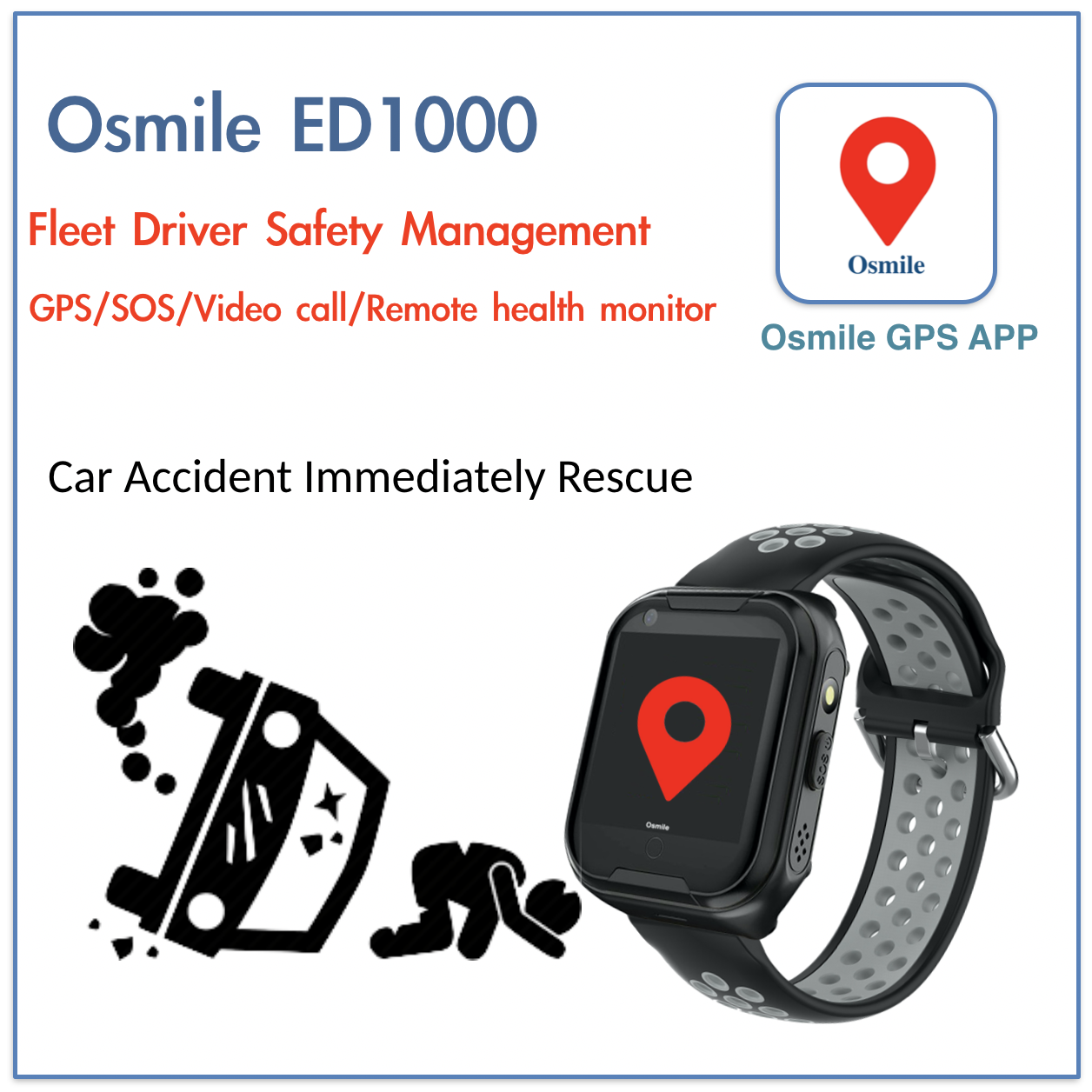
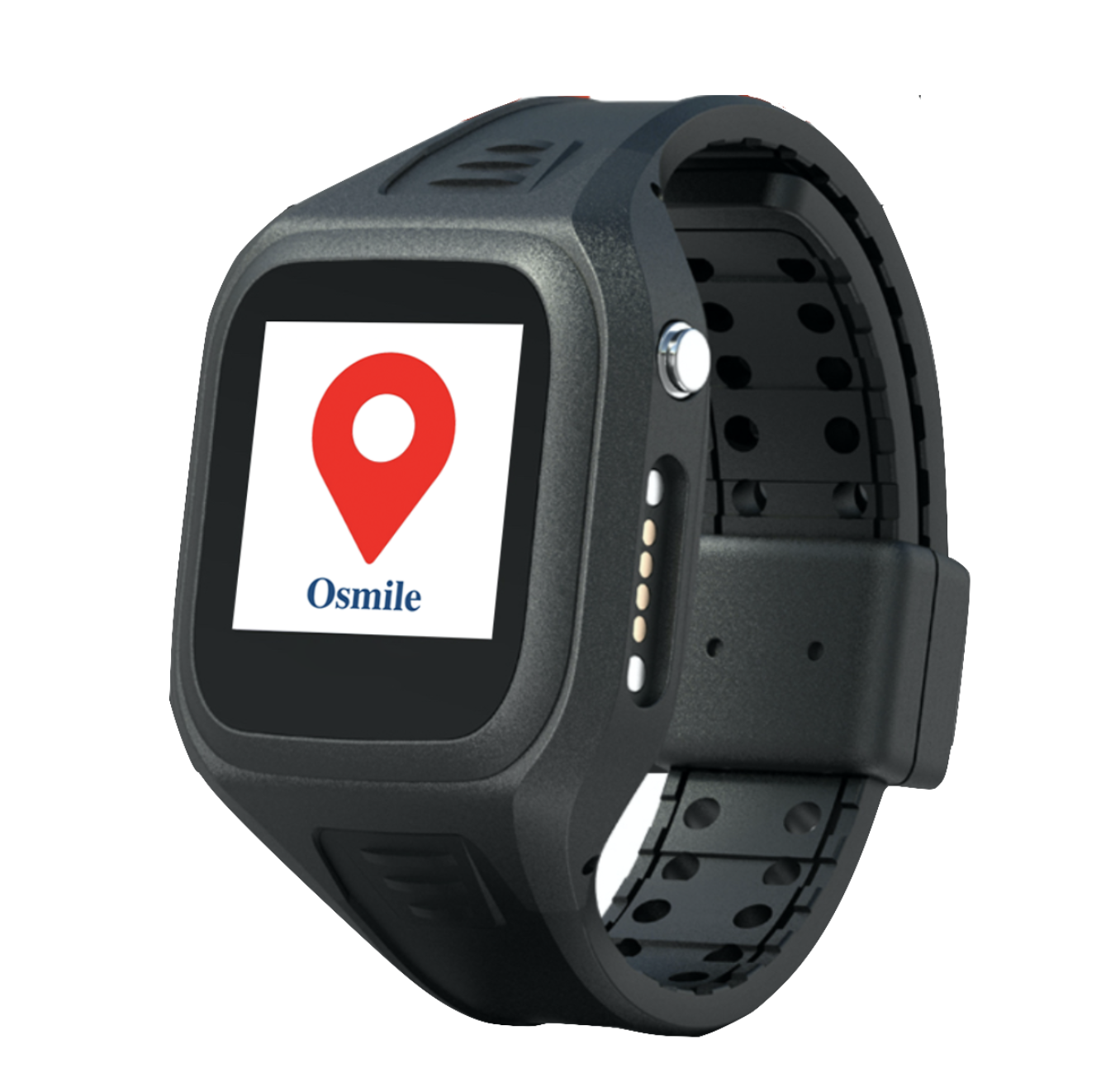
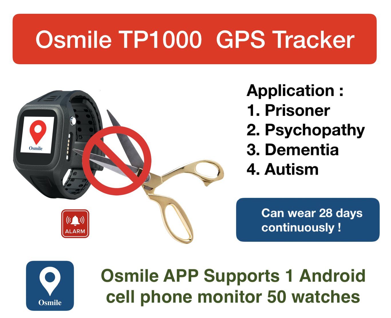
Lone Worker GPS Tracker Watch
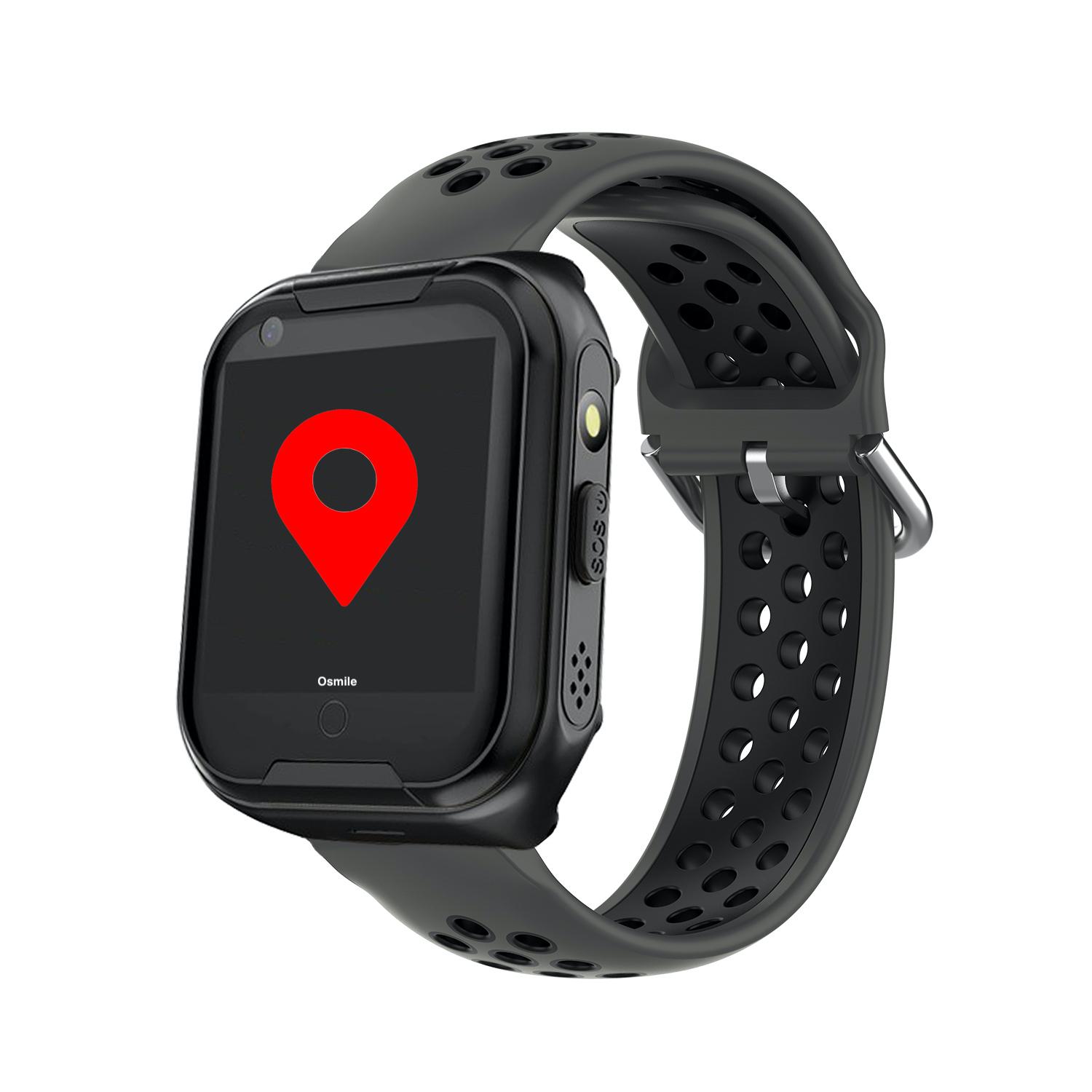
Osmile ED1000 GPS Tracker for senior with Dementia & Alzheimer's disease
Reg. $
300 / USD
Sale $ 249
/ USD
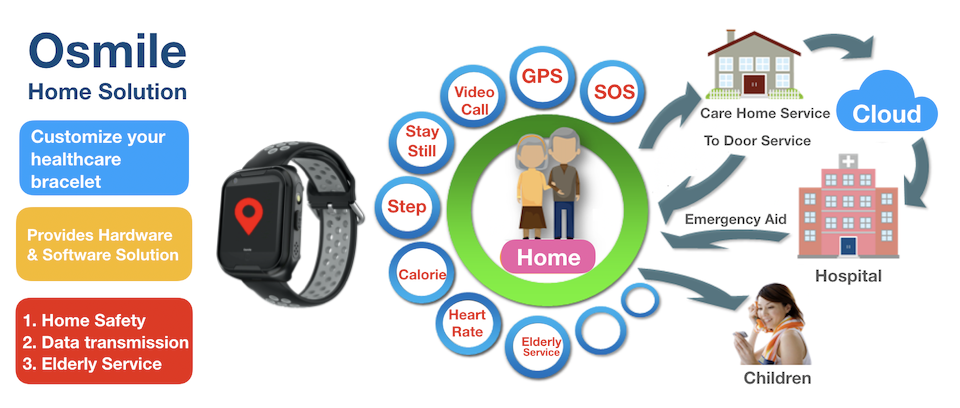
4G/5G Phone call, SOS emergency button, Precise GPS Positioning & Tracking & Helth Monitor
1. 4G/5G Phone Call & Video Call
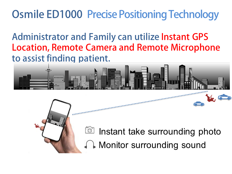
2. Precise GPS Positioning
3 .SOS Emergency Button
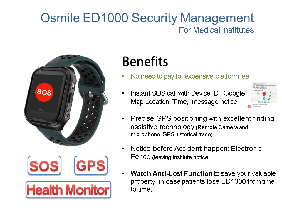
4. Electronic Fence (Notification, when patient is out of set distance)
5. Remote camera (Assisting to take picture on environment & locate patient)
6. Remote Microphone (Assisting to record environemnt sound & locate patient)
7. Remote Heartrate & blood pressure monitor
8. Support multi-managers caring worker function
9. GPS trace record and replay (every 10 minutes)
Easy to manage with Osmile GPS APP can manage up to 50 patients
Osmile ED1000 also comes with fall alert function (Option)
Dementia is a general term for loss of memory, language, problem-solving and other thinking abilities that are severe enough to interfere with daily life. Alzheimer's is the most common cause of dementia.
Osmile ED1000 could also be purchaed at amazon us, and amazon jp, we are also launching the amazon prime video soon
Please note the prefered strip color when purchase, thanks.
Worldwide DHL free shipping! ( You can received order parcel in less than 4 days)
.png)
.png)
.png)
.png)
.png)
.png)
.png)
.png)
.png)
.png)
.png)
.png)
.jpg)

Osmile ED1000 for Senior Living
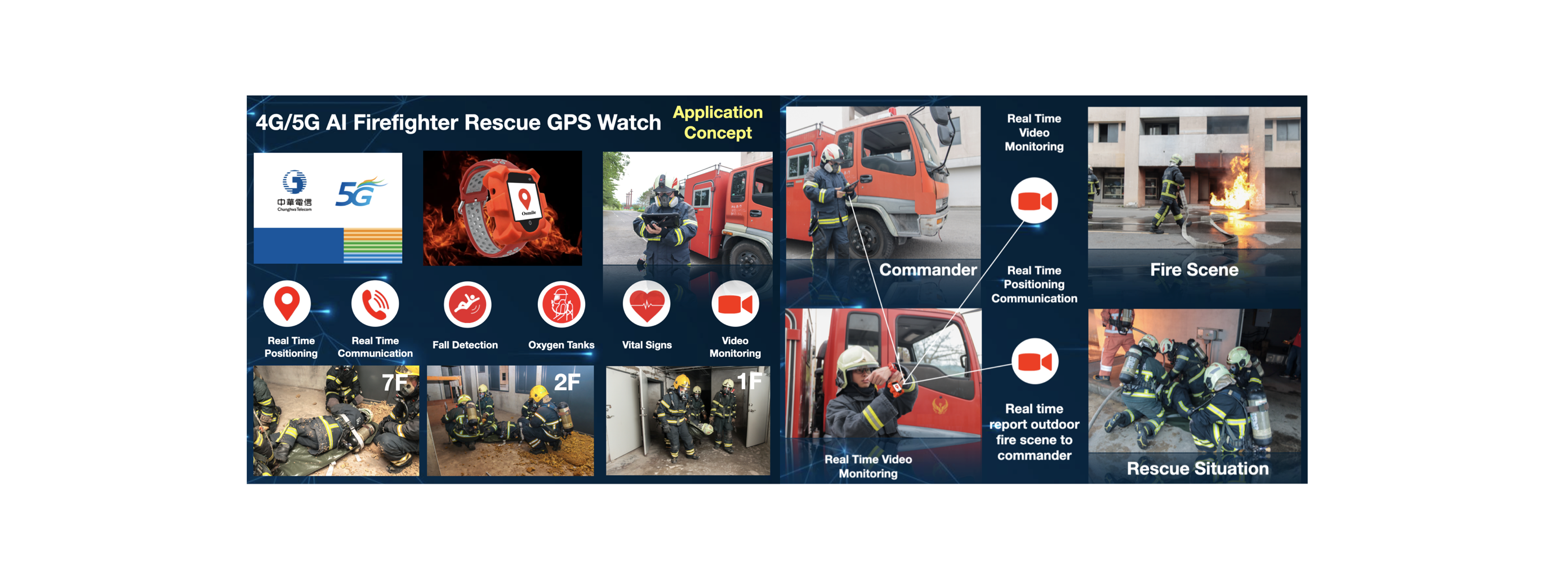
All types of senior living communities must manage wandering risks, control the spread of infections and respond quickly in the event of an emergency to protect residents. Osmile ED1000 emergency alerting system for the elderly offers the highest location accuracy for wander management, contact tracing and duress response.
Osmile ED1000’s Wander Management and Emergency Alert System for Senior Living
As senior living increasingly focuses on resident independence, the industry needs innovative ways to manage wander risks, reduce contagion outbreaks and respond to emergencies. Osmile addresses these needs by increasing visibility to resident location through accurate GPS technology. At an economical price, Osmile includes advanced features specifically designed for senior living communities to improve the standard of care.
Traditionally, most location technologies available for senior living only provide estimated data or are considered too costly. However, wander control becomes especially important in memory care management, where many residents with conditions like dementia and Alzheimer’s, need greater protection. Real-time, accurate GPS location information helps caregivers better manage wandering residents in these types of environments.
Osmile ED1000’s Comprehensive Features for Care Management
Senior care communities can leverage accurate, customizable location technology to manage wandering and improve emergency response times. TruView™ handles the following aspects of residential senior care:
- Emergency call: Every second counts in an emergency. Osmile ED1000's emergency alert devices notify staff when a resident requests help with information on exactly where the event is taking place.
- Staff assist: A wireless call system for assisted living and other senior care communities allows staff to request assistance when needed. Precise location information lets other staff members know exactly where to go to provide assistance.
- Wander management: Manage resident wandering through location tracking and individual system settings. Set off-limits areas and customize location settings based on the resident’s wandering risk. Wander alarms trigger an alert when a resident begins to stray beyond campus-safe boundaries.
Osmile ED1000 Peace of Mind for Seniors, Families and Caregivers
Everyone involved in a resident’s care can benefit from the robust features of Osmile ED1000. Seniors gain a sense of security knowing that staff can find them during an emergency. Family communication is greatly improved with clear documentation and reporting. Senior living communities can rest assured that residents stay safe and are well cared for.
Osmile ED1000 - GPS tracker Watch for Medical institute security management up to 50 Patients
Osmile ED1000 Patient Care Function:
1. 4G/5G Phone Call
2. 4G/5G Video Call
3. Precise GPS Positioning
4. GPS motion tracker (Historical Path)
5. Remote camera (Assisting to locate patients)
6. Remote Microphone (Assisting to locate patients)
7. Geofence Electronic Fence (Notification, when patient is out of set distance)
8. SOS Emergency Button
9. Multi-language translation
10. Watch Anti-lost function
11. Support multi-manager caring patient function
12. Support 1 manager carring up to 50 patients
Osmile ED1000 Health Management Functions:
1. Heart rate monitoring
2. Take Medicine Reminder
3. Blood Pressure Monitoring
4. Blood Oxygen Monitoring
5. Sedentary
6. Sleep
7. Steps
Osmile ED1000 is not medical device, should not use for medical purposes. All data derived are only for reference.
Osmile ED1000 Other Functions:
1. Social Medical Communication: Line, WeChat etc
2. Find watch function
3. Alarm Clock
4. Phone Book
5. Multi-language support : Chinese/ Danish/ Dutch/ English/ French/
German/ Greek/ Hindi/ Hungarian/ Indonesian/ Italian/ Malay/ Pilipino/ Polish/ Portuguese/ Russian/ Spanish/ Swedish/ Thai/ Turkish/ Vietnamese
Osmile ED1000 Spec:
Model:Osmile ED1000
Wireless transmission:4G Nano Sim Card
System requirement:Android 4.4 & above ; IOS 9.0 & above
CPU : SP9820E
Screen Size : IPS 1.4’
Resolution:240 * 240 pixel
Touch:Capacitive touch
Screen : IPS touch screen
Camera:3.0 mp
GPS Sensitivity : - 159 dBm
Battery Capacity:650 mAh Lithium Battery
Voltage:5V
Charging method:Magnetic USB Charging
Charging time:2.5 hours
Operating time:Around 3 days
Watch material:ABS + PC
Strap Material : Silicone Gel - Black White; Black Dark Green; Black Dark Grey; Light Green Grey; Light Green Pink; Purple Black; Pink Black; Green Black; Grey Red; Blue Black; Green Purple; Grey Orange; Grey Blue; Grey Black; Red Black
Watch Size:25.7 * 4.1 * 1.5 cm
Watch weight:53g
Waterproof Level:IP67 (not support hot shower and swim)
Warranty:12 months (Support fast repair, but not artificial damage)
Customer service:Provide watch installation service
Remarks:
Osmile ED1000, needs to be charge once in 3 weeks, when it is not in use.
Osmile ED1000, not support hot shower, or swimming.
Declaration
Osmile does not be resiponsible for leagl issue for SOS dialout function failure, or GPS positioning. Customer should be awared that SOS dialing out, and GPS positioning may not succed for factors like Telecom company 4G signal is too week or no signal, human operation error, setting error etc.
Osmile Technology Co., Ltd
B2B professional cloud health analysis smart bracelet manufacturer
Customize: Hospital, Heath Centre, Care Home, Cloud GPS Smart Watch
Payment
1. Credit card payment
2. Paypal Payment
3. T/T Bank Transfer

Shipping Method (Shipping through DHL)
Customer should received goods in 3 - 5days, depends on the country you located.
What is GPS?
Discover everything you need to know about GPS and how it is used today.
GPS, or the Global Positioning System, is a global navigation satellite system that provides location, velocity and time synchronization.
GPS is everywhere. You can find GPS systems in your car, your smartphone and your watch. GPS helps you get where you are going, from point A to point B. What is GPS? Read this article to learn more about how it works, its history and future advancements.
What is GPS and how does it work?
The Global Positioning System (GPS) is a navigation system using satellites, a receiver and algorithms to synchronize location, velocity and time data for air, sea and land travel.
The satellite system consists of a constellation of 24 satellites in six Earth-centered orbital planes, each with four satellites, orbiting at 13,000 miles (20,000 km) above Earth and traveling at a speed of 8,700 mph(14,000 km/h).
While we only need three satellites to produce a location on earth’s surface, a fourth satellite is often used to validate the information from the other three. The fourth satellite also moves us into the third-dimension and allows us to calculate the altitude of a device.
What are the three elements of GPS?
GPS is made up of three different components, called segments, that work together to provide location information.
The three segments of GPS are:
- Space (Satellites) — The satellites circling the Earth, transmitting signals to users on geographical position and time of day.
- Ground control — The Control Segment is made up of Earth-based monitor stations, master control stations and ground antenna. Control activities include tracking and operating the satellites in space and monitoring transmissions. There are monitoring stations on almost every continent in the world, including North and South America, Africa, Europe, Asia and Australia.
- User equipment — GPS receivers and transmitters including items like watches, smartphones and telematic devices.
How does GPS technology work?
GPS works through a technique called trilateration. Used to calculate location, velocity and elevation, trilateration collects signals from satellites to output location information. It is often mistaken for triangulation, which is used to measure angles, not distances.
Satellites orbiting the earth send signals to be read and interpreted by a GPS device, situated on or near the earth’s surface. To calculate location, a GPS device must be able to read the signal from at least four satellites.
Each satellite in the network circles the earth twice a day, and each satellite sends a unique signal, orbital parameters and time. At any given moment, a GPS device can read the signals from six or more satellites.
A single satellite broadcasts a microwave signal which is picked up by a GPS device and used to calculate the distance from the GPS device to the satellite. Since a GPS device only gives information about the distance from a satellite, a single satellite cannot provide much location information. Satellites do not give off information about angles, so the location of a GPS device could be anywhere on a sphere’s surface area.
When a satellite sends a signal, it creates a circle with a radius measured from the GPS device to the satellite.
When we add a second satellite, it creates a second circle, and the location is narrowed down to one of two points where the circles intersect.
With a third satellite, the device’s location can finally be determined, as the device is at the intersection of all three circles.
That said, we live in a three-dimensional world, which means that each satellite produces a sphere, not a circle. The intersection of three spheres produces two points of intersection, so the point nearest Earth is chosen.
Here is an illustration of satellite ranging:
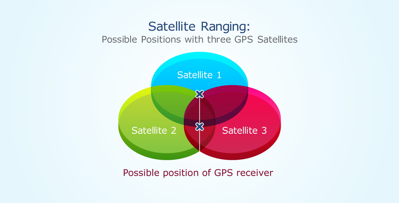
As a device moves, the radius (distance to the satellite) changes. When the radius changes, new spheres are produced, giving us a new position. We can use that data, combined with the time from the satellite, to determine velocity, calculate the distance to our destination and the ETA.
What are the uses of GPS?
GPS is a powerful and dependable tool for businesses and organizations in many different industries. Surveyors, scientists, pilots, boat captains, first responders, and workers in mining and agriculture, are just some of the people who use GPS on a daily basis for work. They use GPS information for preparing accurate surveys and maps, taking precise time measurements, tracking position or location, and for navigation. GPS works at all times and in almost all weather conditions.
There are five main uses of GPS:
- Location — Determining a position.
- Navigation — Getting from one location to another.
- Tracking — Monitoring object or personal movement.
- Mapping — Creating maps of the world.
- Timing — Making it possible to take precise time measurements.
Some specific examples of GPS use cases include:
- Emergency Response: During an emergency or natural disaster, first responders use GPS for mapping, following and predicting weather, and keeping track of emergency personnel. In the EU and Russia, the eCall regulation relies on GLONASS technology (a GPS alternative) and telematics to send data to emergency services in the case of a vehicle crash, reducing response time.
- Entertainment: GPS can be incorporated into games and activities like Pokémon Go and Geocaching.
- Health and fitness: Smartwatches and wearable technology can track fitness activity (such as running distance) and benchmark it against a similar demographic.
- Construction, mining and off-road trucking: From locating equipment, to measuring and improving asset allocation, GPS enables companies to increase return on their assets.
- Transportation: Logistics companies implement telematics systems to improve driver productivity and safety. A truck tracker can be used to support route optimization, fuel efficiency, driver safety and compliance.

Other industries where GPS is used include: agriculture, autonomous vehicles, sales and services, the military, mobile communications, security, and fishing.
How accurate is GPS?
GPS device accuracy depends on many variables, such as the number of satellites available, the ionosphere, the urban environment and more.
Some factors that can hinder GPS accuracy include:
- Physical obstructions: Arrival time measurements can be skewed by large masses like mountains, buildings, trees and more.
- Atmospheric effects: Ionospheric delays, heavy storm cover and solar storms can all affect GPS devices.
- Ephemeris: The orbital model within a satellite could be incorrect or out-of-date, although this is becoming increasingly rare.
- Numerical miscalculations: This might be a factor when the device hardware is not designed to specifications.
- Artificial interference: These include GPS jamming or spoofs.
Accuracy tends to be higher in open areas with no adjacent tall buildings that can block signals. This effect is known as an urban canyon. When a device is surrounded by large buildings, like in downtown Manhattan or Toronto, the satellite signal is first blocked, and then bounced off a building, where it is finally read by the device. This can result in miscalculations of the satellite distance.
A brief history of GPS
Humans have been practicing navigation for thousands of years using the sun, moon, stars, and later, the sextant. GPS was an advancement of the 20th century made possible by space-age technology.
GPS technology has been used globally throughout history. The launch of Russia’s Sputnik I satellite in 1957 ushered in the possibility of geolocation capabilities and soon after, the U.S. Department of Defense began using it for submarine navigation.
In 1983, the U.S. government made GPS publically available, but still kept control of the available data. It wasn’t until 2000 that companies and the general public gained full access to the use of GPS, eventually paving the way for greater GPS advancement.
Previous Project | Previous Page

